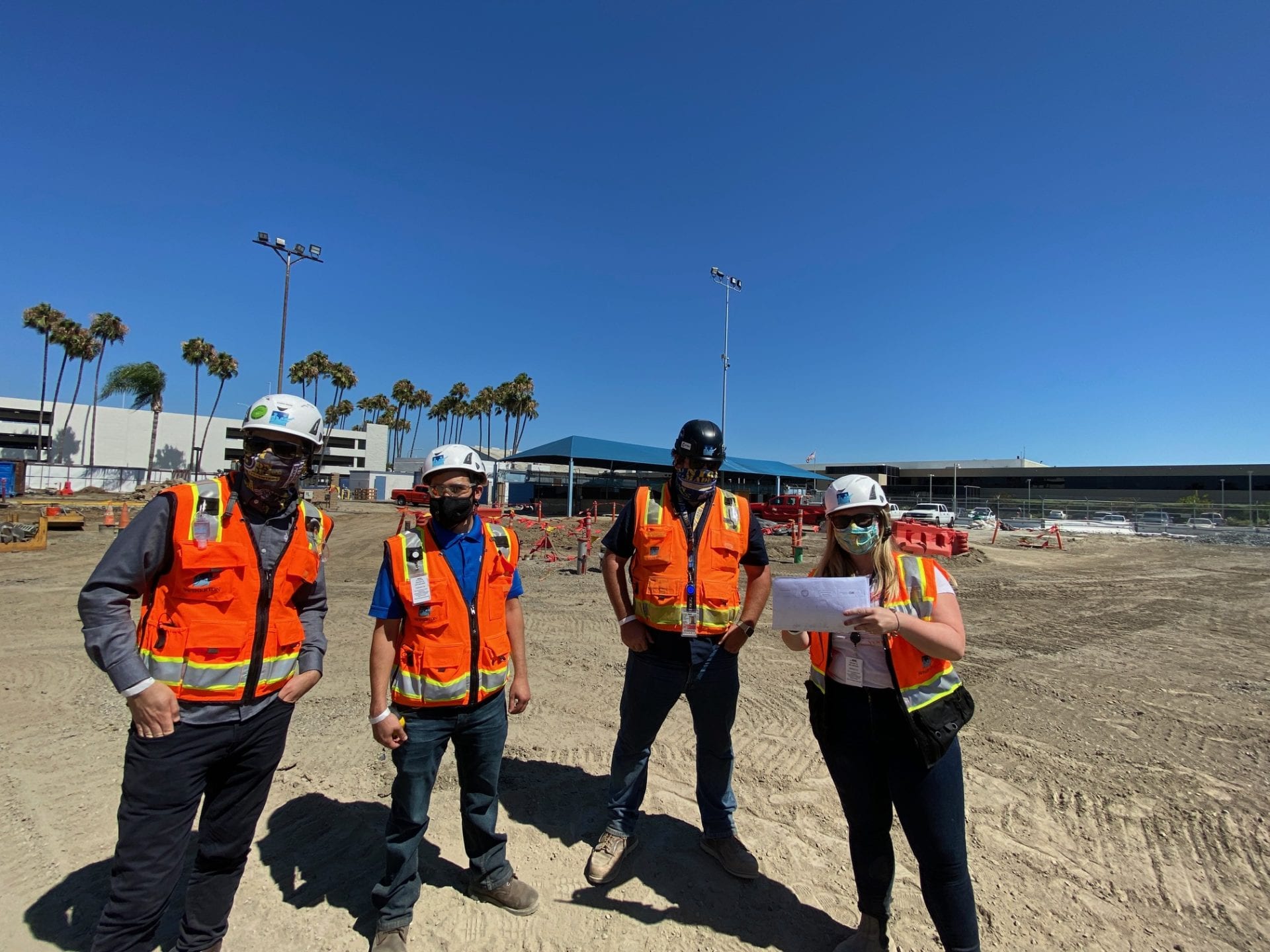
Flying High (Tech) at Long Beach Airport
Like with many other aviation construction projects, the Long Beach Airport project has a significant number of existing unknowns. The process of ground penetrating scans and potholing can only provide so much information. Most of the detail on the exact locations and depths become known only after you start the work.
The design of the foundations for this project utilizes geo-piers due to the unstable soil conditions. The process of installing geo-piers is to first install all new underground utilities; second, create a final pad, which entails covering all new and existing utilities; and third, install the geo-piers. Documentation of as-builts are critical so that all the geo-piers and footings/grade beams miss all existing and new utilities.
Construction Technology helps Aviation Project Capture Ground Penetrating Scans
We realized that relying solely on subcontractors’ as-built information would not be sufficient to capture all existing conditions. This is where the team partnered with Allen Instruments and underwent training for the Trimble SX10 surveying instrument. The Trimble SX10 is an evolution of total stations with capability to 3D scan, enhance vision imaging technology, and perform high accuracy total station measurements—all in one single instrument.
Data collected from the Trimble SX10 can be imported into our BIM model. Additionally, we can use the SX10 in the field to remap out underground utilities once they are no longer exposed. This process is helping each stage of the underground, geo-piers, and foundations so that each trade understands what is hidden below the surface. Learn more about Swinerton’s use of technology.


